
About Oddity
We’re volunteers mapping Google Earth oddities into a living atlas that sparks wonder and supports projects.
Origins
Oddity Atlas began as a late-night rabbit hole through Google Earth, bookmarking every strange crater, crop circle, and mystery landmark we spotted. Now we catalog weirdness for public good—curious why it matters? Dive deeper at /mission.
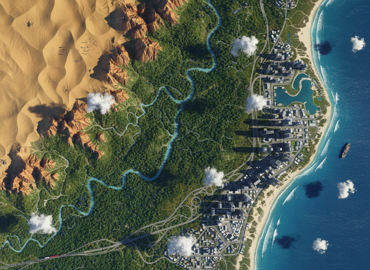
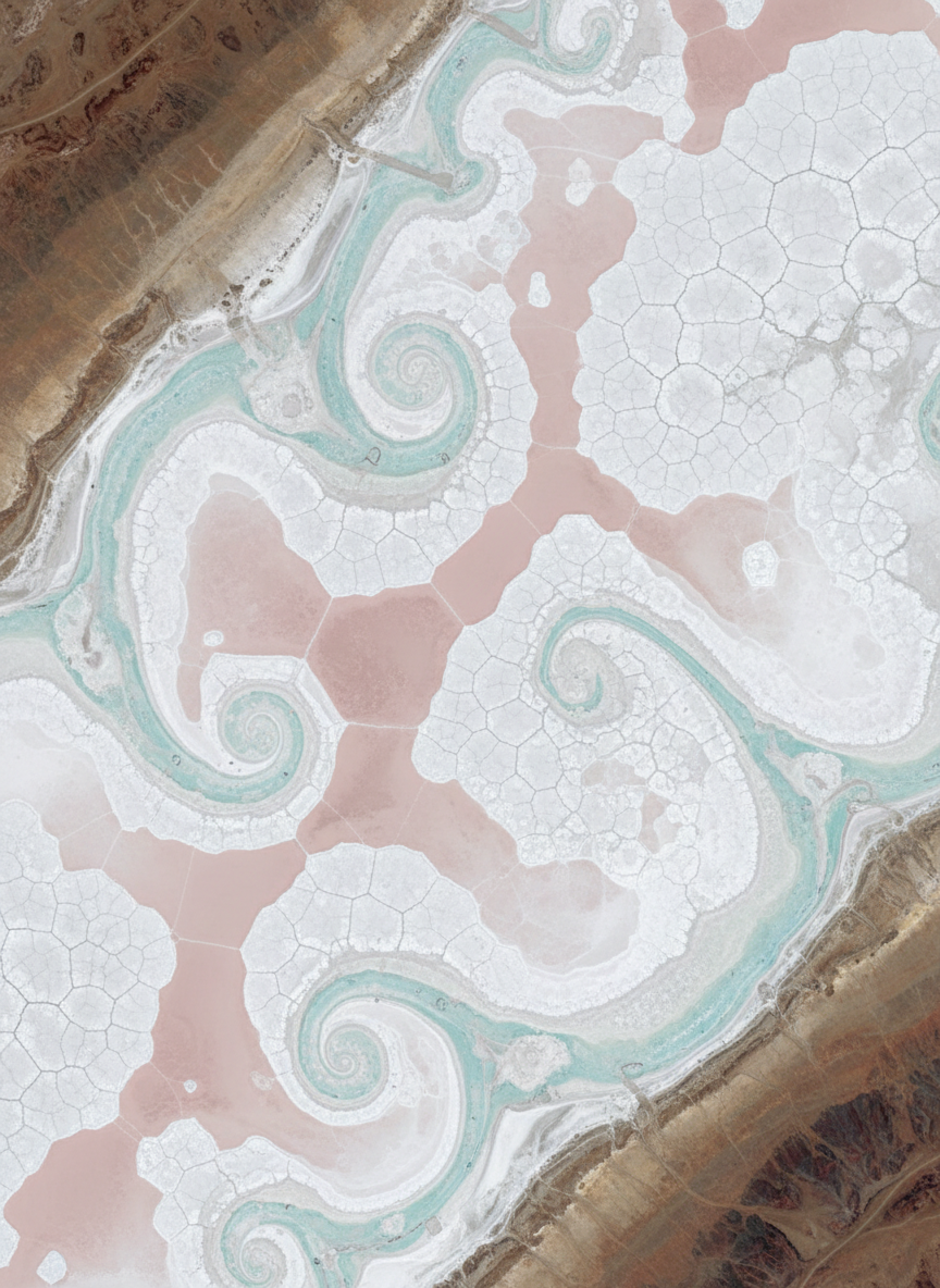
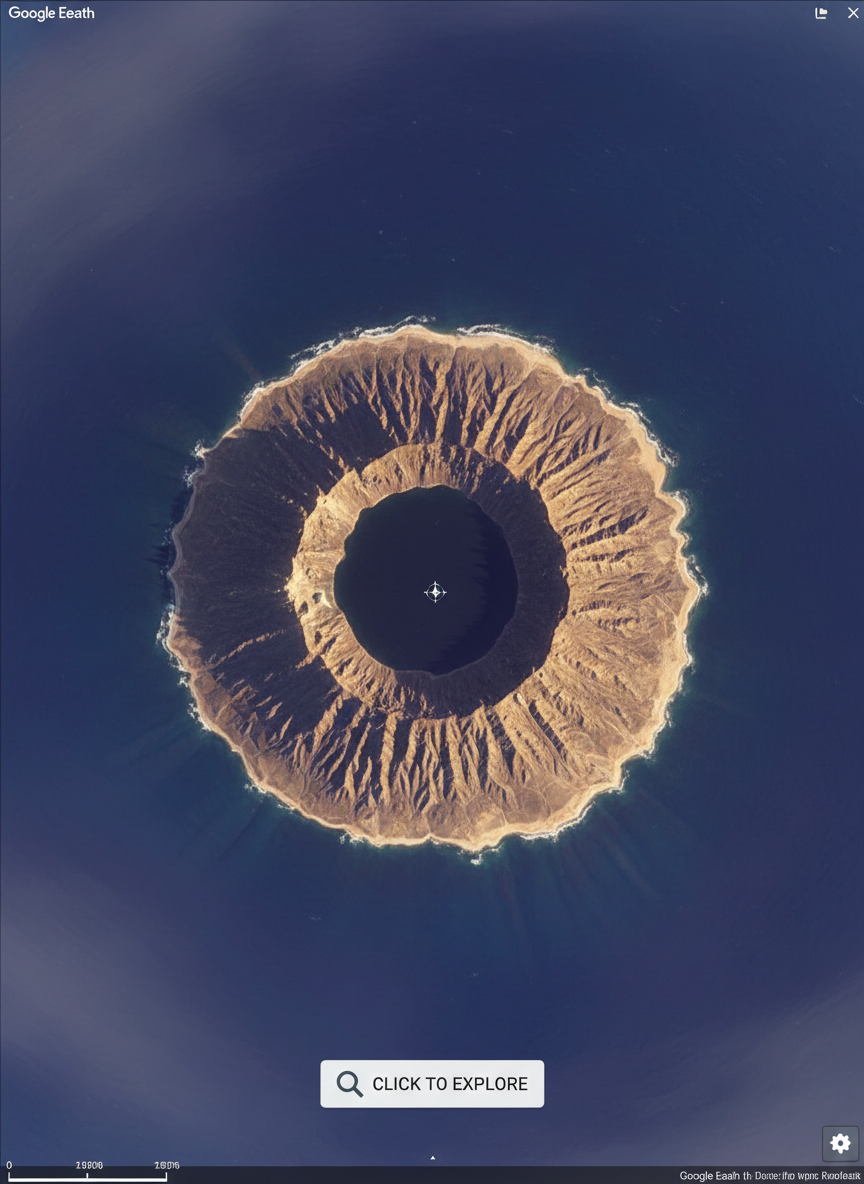
Scroll through before-and-after satellite views, zoom into UFO-shaped buildings and accidental crop art, and watch how deserts, forests, and coastlines shift over time—each image a tiny proof that curiosity can inspire real-world action.
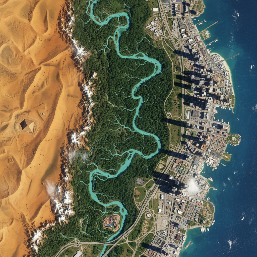
Compare quirky landmarks, community murals, and environmental hotspots as they evolve on Google Earth; our gallery turns coordinates into stories of resilience, creativity, and change that anyone can explore from a laptop.
About
How We Find Earthly Oddities
We value curiosity, transparency, and consent, so every odd spot we feature is double-checked with satellite layers, open data, and local voices when possible. Wonder how a place made the cut? Visit our FAQs to see our full verification checklist.
